Податотека:MESSENGER EN0108828359M.png
Големина на овој преглед: 595 × 600 пиксели. Други разделности: 238 × 240 пиксели | 476 × 480 пиксели | 1.016 × 1.024 пиксели.
Изворна податотека (1.016 × 1.024 пиксели, големина: 692 КБ, MIME-тип: image/png)
| Ова е податотека од Ризницата на Викимедија и може да се користи на други проекти. Подолу е наведена содржината на нејзината описна страница.
|
Опис
| Опис |
Original caption:
|
| Датум | |
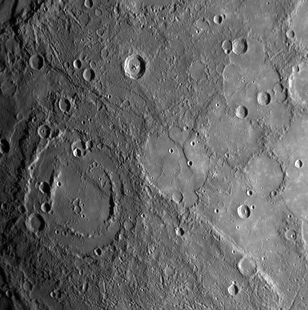
| Извор | MESSENGER REVEALS MERCURY'S GEOLOGICAL HISTORY |
| Автор | NASA/Johns Hopkins University Applied Physics Laboratory/Carnegie Institution of Washington |
Лиценцирање
| Оваа податотека е во јавна сопственост бидејќи нејзин создавач е НАСА. Правилата за авторски права на НАСА велат: „Материјалот на НАСА не е заштитен со авторски права освен ако не е поинаку нагласено“. (Правилата за авторски дела на НАСА или правила за користење на слики од Лабораторијата за реактивен погон (JPL)). | ||
 |
Предупредувања:
|
Историја на податотеката
Стиснете на датум/време за да ја видите податотеката како изгледала тогаш.
| Датум/време | Минијатура | Димензии | Корисник | Коментар | |
|---|---|---|---|---|---|
| тековна | 18:01, 10 февруари 2020 | | 1.016 × 1.024 (692 КБ) | SteinsplitterBot | Bot: Image rotated by 180° |
| 00:00, 18 јануари 2008 |  | 1.016 × 1.024 (691 КБ) | Zginder | {{Information |Description=One of the photos released after the first flyby. |Source=http://messenger.jhuapl.edu/gallery/sciencePhotos/pics/EN0108828359M.png |Date= |Author= |Permission= |other_versions= }} |
Употреба на податотеката
Податотекава се користи во следнава страница:
Глобална употреба на податотеката
Оваа податотека ја користат и следниве викија:
- Употреба на af.wikipedia.org
- Употреба на ar.wikipedia.org
- Употреба на az.wikipedia.org
- Употреба на bg.wikipedia.org
- Употреба на bn.wikipedia.org
- Употреба на en.wikipedia.org
- Употреба на en.wikibooks.org
- Употреба на en.wikiquote.org
- Употреба на es.wikipedia.org
- Употреба на fr.wikipedia.org
- Употреба на gu.wikipedia.org
- Употреба на he.wikipedia.org
- Употреба на ko.wikibooks.org
- Употреба на ml.wikipedia.org
- Употреба на ro.wikipedia.org
- Употреба на ta.wikipedia.org
- Употреба на tr.wikipedia.org
- Употреба на zh.wikipedia.org