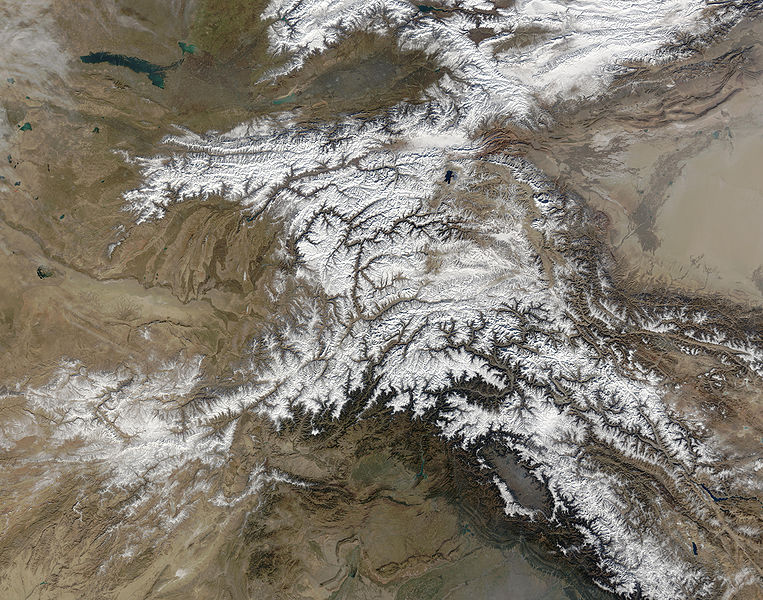
Податотека:Hindu Kush satellite image.jpg

Големина на овој преглед: 763 × 600 пиксели. Други разделности: 306 × 240 пиксели | 611 × 480 пиксели | 978 × 768 пиксели | 1.280 × 1.006 пиксели | 2.560 × 2.011 пиксели | 5.600 × 4.400 пиксели.
Изворна податотека (5.600 × 4.400 пиксели, големина: 5,01 МБ, MIME-тип: image/jpeg)
Историја на податотеката
Стиснете на датум/време за да ја видите податотеката како изгледала тогаш.
| Датум/време | Минијатура | Димензии | Корисник | Коментар | |
|---|---|---|---|---|---|
| тековна | 06:39, 6 јуни 2006 |  | 5.600 × 4.400 (5,01 МБ) | Avenue | {{Information |Description=The Hindu Kush occupies the lower-left-center of this true-color MODIS satellite image, acquired 28 November 2003. |Source=[NASA's Earth Observatory http://earthobservatory.nasa.gov/Newsroom/NewImages/images.php3?img_id=16411] | |
Употреба на податотеката
Податотекава се користи во следнава страница:
Глобална употреба на податотеката
Оваа податотека ја користат и следниве викија:
- Употреба на bcl.wikipedia.org
- Употреба на bn.wikipedia.org
- Употреба на ca.wikipedia.org
- Употреба на el.wikipedia.org
- Употреба на en.wikipedia.org
- Употреба на es.wikipedia.org
- Употреба на et.wikipedia.org
- Употреба на eu.wikipedia.org
- Употреба на fa.wikipedia.org
- Употреба на fi.wikipedia.org
- Употреба на it.wikipedia.org
- Употреба на ml.wikipedia.org
- Употреба на mr.wikipedia.org
- Употреба на nl.wikipedia.org
- Употреба на nn.wikipedia.org
- Употреба на pa.wikipedia.org
- Употреба на pl.wikipedia.org
- Употреба на pnb.wikipedia.org
- Употреба на pt.wikipedia.org
- Употреба на ro.wikipedia.org
- Употреба на sk.wikipedia.org
- Употреба на sl.wikipedia.org
- Употреба на sr.wikipedia.org
- Употреба на ta.wikipedia.org
- Употреба на tg.wikipedia.org
- Употреба на th.wikipedia.org
- Употреба на uz.wikipedia.org
- Употреба на vi.wikipedia.org

